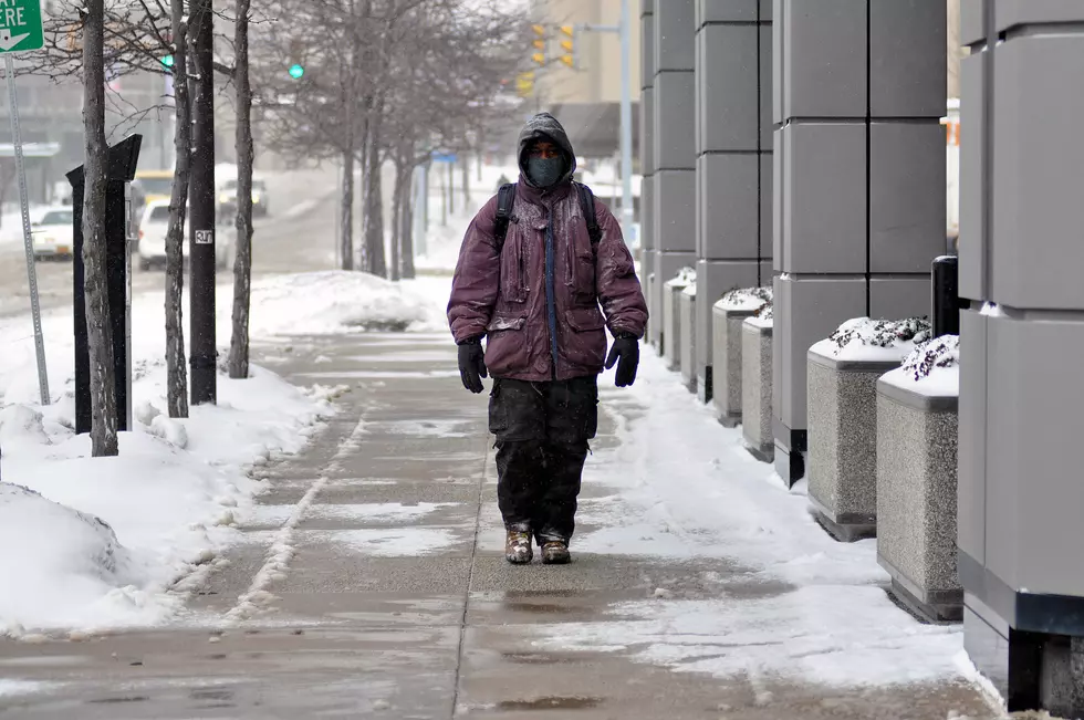
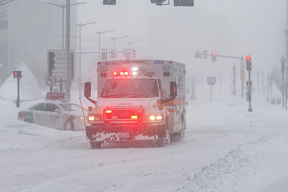
Be Careful This Week: Arctic Cold Temperatures Are Coming…and More Snow
It's going to get EXTREMELY COLD this week. I'm talking Wind Chill Factor temperatures as low as 30 Below Zero Wed night into Thursday and more snow expected as well.
WGRZ Reports The Following:
Frost-Bite is a huge concern when temps and Wind Chill temperatures reach below zero. It only takes a few minutes for FrostBite to set in, according to experts. Here's how you can protect yourself
Staying Safe:
More stories you might enjoy:
More From 93.7 WBLK


![10 Barn Weddings You Can Have in Western New York [LIST]](http://townsquare.media/site/10/files/2016/05/Barn-Weddings-Getty.jpg?w=980&q=75)