WNY At Risk For Severe Weather This Evening

The last few days in Buffalo have been quite pleasant with warm temperatures and a nice breeze. Unfortunately as most Buffalonians know, the weather can change quite rapidly in Western New York, especially when the seasons are switching.
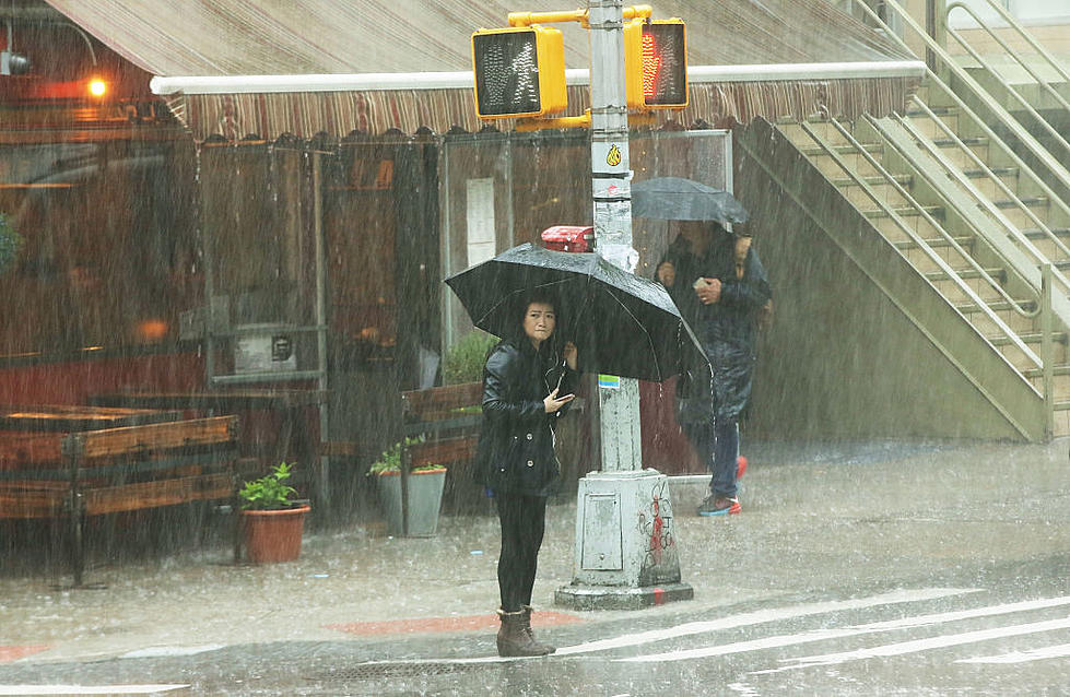
While today's Buffalo Bills' Season Home Opener seen some sprinkles, this evening a major weather system that may be headed towards Wester New York can bring much more than rain as strong severe thunder storms are predicted to move through the area starting as early as 6pm this evening.
According to Channel 2 WGRZ's Storm Prediction Center with a cold front approaching, the system could bring damaging wind gusts up to 60 mph as well as torrential downpours. There's even a small risk of Quarter sized hail and tornadoes. In addition, with these types of storm systems, a lot of lightening can be expected and it's predicted that the height of activity will be sometime around 9pm tonight after sunset and midnight.
At this time, the National Weather service has yet to issue a severe weather alert pertaining to the predicted storm, there's only a beach alert active currently for rip tides and currents but you can keep up with the latest weather alerts via their website at weather.gov you can also get the latest information on WGRZ's storm prediction their app or website at WGRZ.com
Hopefully the majority of today's tailgate parties will be wrapped up by the time the impending storm hits, so be sure to get somewhere in doors safely this evening just incase.
."}" data-sheets-userformat="{"2":33554688,"11":4,"28":1}">
7 Restaurants on Delaware Ave. in Kenmore to Try Soon
More From 93.7 WBLK


