Major Winter Storm Expected On Monday In New York
It looks like another round of Winter snow is coming to New York to kick off next week.
Fun After A Long Day At Work. Listen To Dave Fields Afternoons 3-7pm
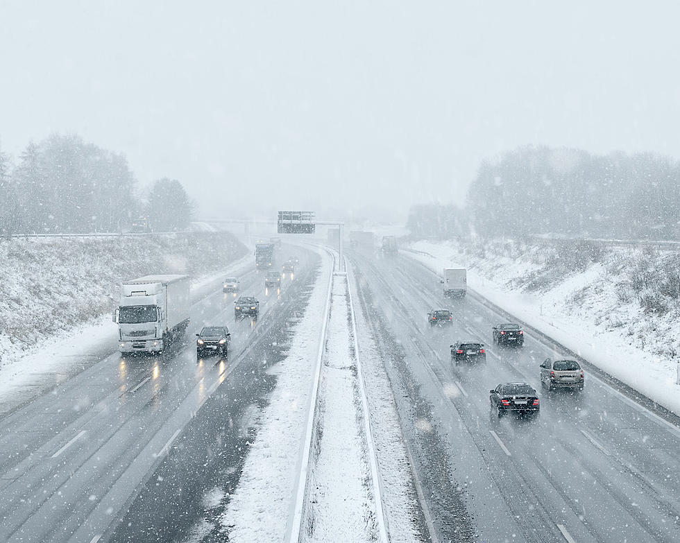
According to the latest European Weather Models, it looks like another massive snowstorm will be sweeping through New York starting late Sunday night all the way through Monday afternoon.
The amount of snow will vary depending on where you live in the State. According to the models, we will see the storm just graze parts of Western New York, while most of the impact will happen in the Southern Tier, Central New York, and into parts of Albany and the Upstate New York.
New York City is expected to see a mix of snow and rain with most of the precipitation being rain.

Western New York has recovered from the Lake Effect snow that dumped nearly 22 inches of snow near the City of Buffalo. Parts of Upstate New York also saw heavy lake effect snow this past week and it looks like more snow is coming their way.
Buffalo will get a blast of cold air Sunday evening and we could see a low near 2 degrees. Rochester and Albany could see a couple of inches of snow. We will also see very windy conditions during the duration of the storm.
Of course, this is an early model and we could see the storm shift more East or West depending on the Jet Stream and other weather factors.
Check out the European model from Sunday night through Monday afternoon.
Major Snow Storm Expected On Monday In New York
Gallery Credit: Dave Fields
The Most Buffalo Way To Measure Snow
Gallery Credit: Dave Fields
Snowblower Etiquette Every New York Should Know
Gallery Credit: Dave Fields
More From 93.7 WBLK


