Travel Could Be Impossible on Christmas in Buffalo: 2-3 Inches of Snow Per Hour
Many of us wish for a white Christmas every year and we will get our wish this Christmas...but be careful what you wish for.
In case you didn't hear, there's a winter storm coming just in time for the Christmas holiday in Western New York. A Winter Storm Watch goes into effect Thursday at 7 pm and lasts through Saturday afternoon for Erie, Genesee, Wyoming, Chautauqua and Cattaraugus counties.
How much snow is falling? It depends on where you live but everyone in Western New York will be shoveling on Christmas Day.
According to WKBW, Thursday will start as all rain and warmer temperatures, but then the temps drop rapidly and change to snow by early evening on Christmas Eve.
Over 12 inches of snow could fall from the Buffalo metro to the lakeshore down the 90 thruway, including the south towns. Hamburg, Orchard Park, West Seneca, and Lackawanna might be hit the hardest but it depends on the trajectory of the lake effect snow bands.
It'll be widespread snow through most of Christmas morning but then lake effect snow will be the story from midday onward.
Early projections from WIVB say up to 14 inches could fall in certain parts of the region. Lockport and other areas in Niagara County will probably only seen 2-4 inches of snow.
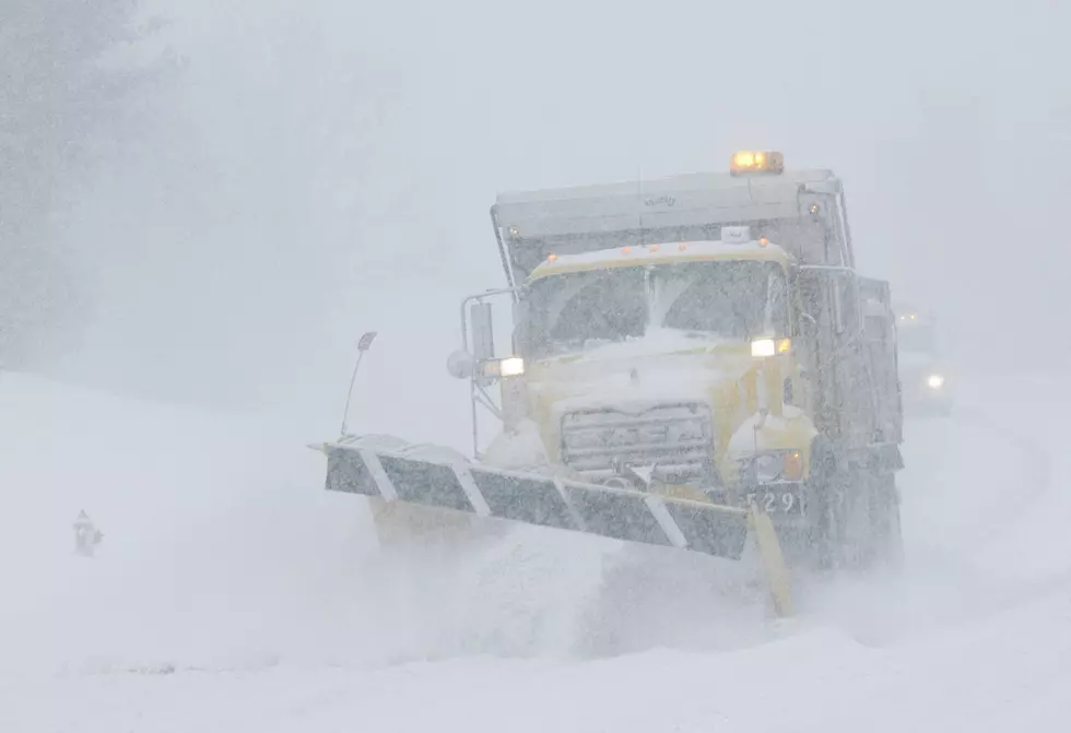
During the lake effect snow, 2-3 inches of snow could fall per hour, which would make travel extremely difficult. This is obviously terrible timing for those who will be trying to visit family for Christmas.

If you have a plan B for holiday plans, keep them handy. It appears Christmas Eve will be a much better travel day.
KEEP READING: Get answers to 51 of the most frequently asked weather questions...
More From 93.7 WBLK


