New York State Will See Multiple Feet of Snow This Winter
The official start of fall is four days away, as it will arrive during Saturday, September 23rd.
The start of fall signals the start of cooler weather, although Mother Nature typically has its own plan every year. The temperatures will rise back to the mid-to-high 70's across New York state this week, as we see more August-like temperatures.
There is cooler air forecasted into next week, with rain showers, which is typically the kind of weather that we see in October. The first average snowfall is four to five weeks away, which means pretty soon we will be breaking out our snow shovels and ice scrappers.

There's always that anticipation for the first snowfall and then how much snow we get for the upcoming winter season. This winter will feature an El Nino, which could mean a bad winter for parts of the state; including New York City, which could see a Nor'Easter or two over the next several months.
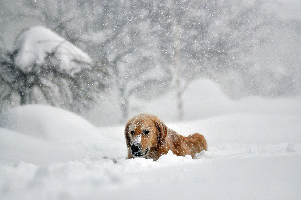
It looks like we will get a bunch of snow this winter, as Direct Weather is forecasting heavy snowfall for most of the state, especially those who live near Lake Erie and Lake Ontario.
They're forecasting/predicting 30-48 inches of snowfall for those downstate, while those in Western, Central and parts of upstate New York will see over 48 inches of snow. That means Buffalo will once again see it's average or above average snowfall this winter season.
The question remains, "how many winter storms will we see?"
The winter was not that bad last year, but the problem was Winter Storm Elliott, which struck the week of Christmas and caused millions of dollars in damage. Residents died in Buffalo and Western New York, where there were blizzard conditions. Hopefully, we don't see that kind of storm ever again, or at least not for quite some time.
