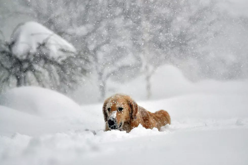
4 Feet of Snow Possible with Storm in Parts of Western New York
We are officially in the middle of round two of the lake effect snowstorm.
The band of snow that impacted the south towns and South Buffalo, is currently north of the thruway and over the far north towns. It dropped anywhere from 1-2 feet of snow in areas south of Buffalo; even close to 30 inches.
The band of snow will weaken late morning, but kicks back up and moves back into the Buffalo metro by mid-to-late afternoon and evening. Another 1-2 feet of snow is expected in the most persistent areas.

The National Weather Service updated its Winter Storm Warning totals; 4 feet of snow locally is now possible.
3 feet looks likely if not already there for areas south of Buffalo.
A travel ban is still in place for Lackawanna, West Seneca, Hamburg, Cheektowaga, Lancaster, Orchard Park and Buffalo (south of downtown).
The band will dissipate by Thursday afternoon and evening. Friday will see light, general snowfall and by Saturday the snow ends.
Sunday will be dry and cold for the Buffalo Bills’ divisional round playoff game vs. the Kansas City Chiefs.
The game will be fine. But the Bills practice schedule could be disrupted. Today is a walkthrough but we will see if they can practice like normal on Thursday with the snow.
Next week will be much warmer. 40 degree temperatures and rain, from Wednesday through Friday. Flooding could be a concern but much of the snow should melt because of that forecast.
We just have to get through Thursday.
6 WNY Restaurants You Have To Try In 2024
Gallery Credit: Google Maps
The Coldest Buffalo Days Of All Time
Gallery Credit: NWS/Megan Carter/Canva
The 10 Snowiest Buffalo Winters Of All Time
Gallery Credit: Canva

