Did a Tornado Touch Down in Parts of the Hudson Valley?
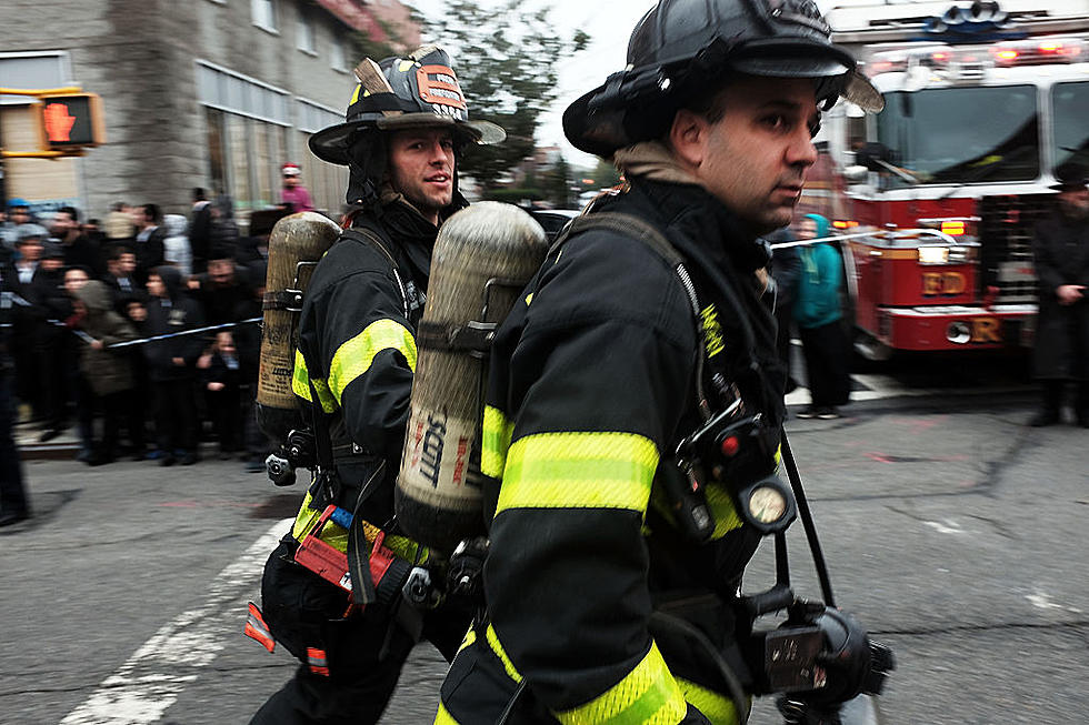
Wednesday was certainly a wild day for weather, as severe storms rolled through the area in the early afternoon bringing much colder weather back to the Hudson Valley by evening. The day started out like any other April day, but then skies began to darken, and soon a line of severe thunderstorms bringing heavy rain, winds over the 60 MPH, and even hail blasted through the region. Some forecasts had initially called for just some showers and thunderstorms Wednesday, but by a little after 2:00 PM, there were actually Tornado Warnings for parts of Dutchess and Litchfield Counties. Now, as more and more of the reports come in, many are wondering if a tornado hit parts of Dutchess County?
*** Update: The National Weather Service in Albany said there were two tornadoes that struck Wednesday. The NWS said, besides the EF-1 in Amenia, there was an EF-0 in Bulls Bridge to southern Kent, Connecticut. Both occurred between 2:49 p.m. and 2:51 p.m. ***
Hudson Valley Weather indicated some areas of weak rotation on radar around Amenia after 2:00 PM. HVW says that there were lots of reports of damage in that vicinity around the same time. The question now is whether or not it was an actual tornado, or just strong straight line winds. Judging by some of the pics posted in the comment sections of HVW and Hudson Valley 12, it sure looks like damage caused by a tornado. Many readers from areas like Fishkill, Hopewell Junction, Wappingers Falls, Dover Plains and Amenia posted shots of uprooted trees, downed power lines, and other damage caused around their property by the storms. There is also some video footage of the storm, which shows rotation and funnel clouds overhead.
Hudson Valley Weather says if a tornado did indeed touch down, then it would have been short lived and fairly weak. This would probably place it in the EF0 to EF1 range. The Enhanced Fujita scale is used to track the intensity of tornadoes based on the damage caused. Still, even a weaker tornado with winds over 70 MPH will certainly cause quite a panic, especially when there's very little warning ahead of time. The National Weather Service will have to survey the damage area to determine if it was officially a tornado. This could possibly make it the state's first tornado of 2021. Now, parts of he Hudson Valley are under a Freeze Warning Thursday night, as temperatures are expected to dip to near 30.
KEEP READING: What to do after a tornado strikes
TIPS: Here's how you can prepare for power outages
More From 93.7 WBLK