Wind Advisory Issued For Western New York This Afternoon
We will see a warm-up across Western New York today and with that heat comes some wind.
The National Weather Service in Buffalo has issued a Wind Advisory for much of Western New York starting at 1 this afternoon and going until 10 pm.
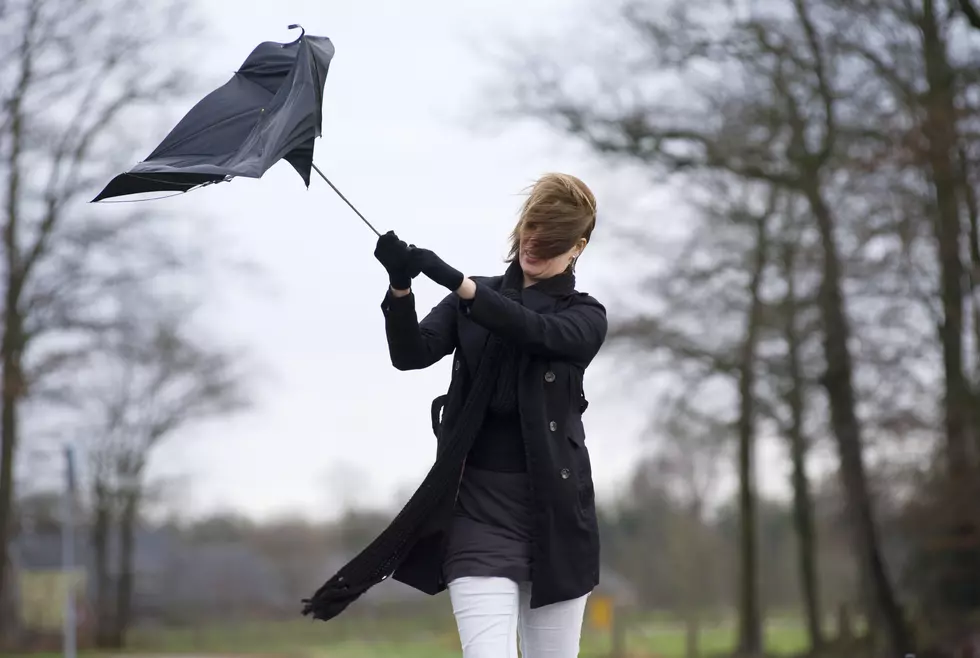
...WIND ADVISORY REMAINS IN EFFECT FROM 1 PM THIS AFTERNOON TO
10 PM EST THIS EVENING...

* WHAT...Southwest winds 20 to 30 mph with gusts up to 50 mph
  expected.

* WHERE...Niagara, Orleans, Erie, Genesee, and Chautauqua
  counties.

* WHEN...From 1 PM this afternoon to 10 PM EST this evening.

* IMPACTS...Gusty winds could blow around unsecured objects.
  Tree limbs could be blown down and a few power outages may
  result.
The good news is that there will be no snow in the forecast so the impact on driving home this afternoon will be minimal. You will have to watch out for your garbage cans. Those could be blown down the road this afternoon.

There is also more good news when it comes to the weather this weekend in Western New York. After a dip back to below freezing tomorrow we will see a warm-up heading into the weekend. We could see highs in the mid 40's for both Saturday and Sunday. So does that mean Spring is right around the corner?
Not quite. Snow is expected in the forecast on Monday and another cold blast is coming out way. Tuesday's high is expected to only reach 30 degrees.
At least this weekend, it will be a good one to hit the slopes, the trails, or just go outside for some family fun.
Cold Temps Make For Pretty Western New York Ice Rainbow
More From 93.7 WBLK


