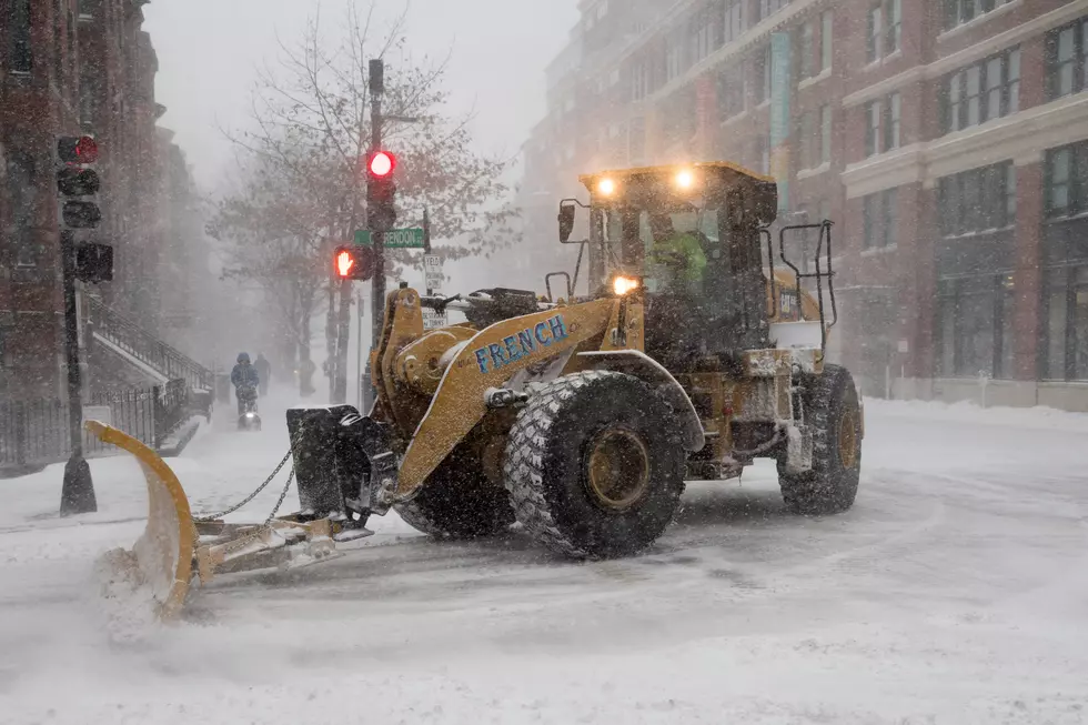
Buffalo & Niagara Falls Braces for More Cold Winter Weather Coming
You may feel as though Spring is on the way because of the warmer temps we've been experiencing, beyond that Polar Vortex freezing a few days we had last week ... but think again. Colder temps are coming SOON.
According to WGRZ Storm Team 2, here's what we're looking at this morning and today:
- A High Wind Watch has been issued for Erie, Niagara, Genesee, Orleans, and Wyoming counties beginning at 11 a.m. Thursday and continuing through the late afternoon on Friday. Gusts up to 55 mph are possible.
- A Winter Weather Advisory continues for Erie, Niagara, Genesee and Orleans counties until 11 a.m. Thursday.
- A Flood Watch has been issued for Northern Erie County through Friday morning.
Temperature fluctuations are going to be strange within the next 24 hours going from the 30's early today to the high 50s later tonight, then back down into the 20s by Friday morning.
WGRZ
More stories you might enjoy:
More From 93.7 WBLK